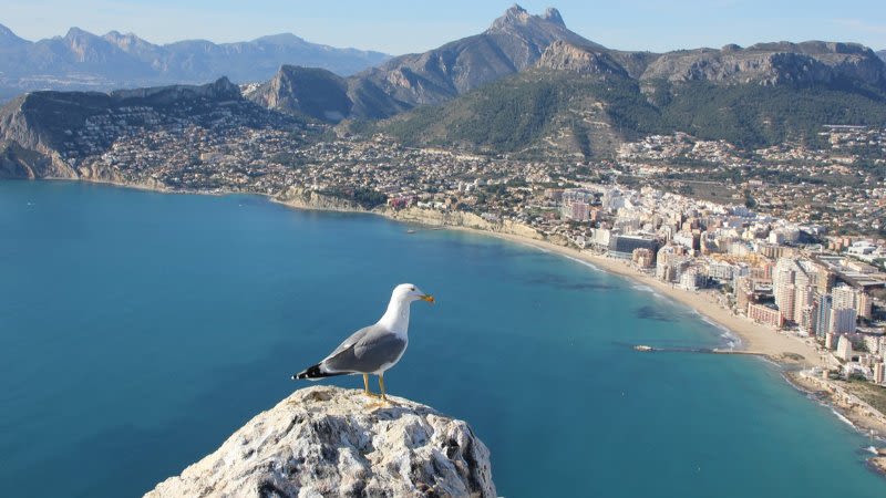
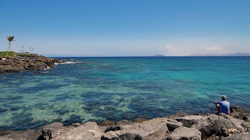
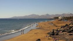
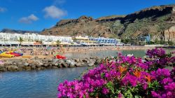
Aemet warns about torrential rain this weekend in the Canary Islands

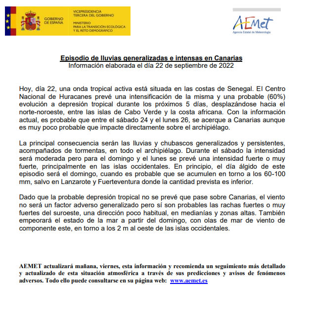
Aemet has just announced that today, September 22, an active tropical wave is situated on the coast of Senegal. The National Hurricane Center anticipates that this tropical wave will grow in intensity and it is probable (60%) that it will evolve into a tropical depression in the next 5 days, moving towards north - northwest, between the islands of Cape Verde and the African coast.
Update - The cyclone is now classed as Tropical Storm Hermine, due to its rapidly increasing strength
Based on the current information, it is probable that between Saturday, September 24 and Monday, September 26, this tropical storm will arrive in the vicinity of the Canary Islands, although it is unlikely to have a direct impact on the archipelago.
The main consequences felt in the Canaries will be generalized rains, which will be persistent and intense, accompanied by storms, which will affect the entire archipelago. On Saturday the intensity is expected to be moderate but on Sunday and Monday, it is expected that the rains will be intense or torrential and even very intense, especially in the western islands.
Based on the current estimate, the most intense day of this episode will be on Sunday, when accumulated precipitation around 60 - 100 mm is forecasted, with the exception of Fuerteventura and Lanzarote where the forecast is lower.
Given the fact that this tropical depression will not pass directly over the Canary Islands, the wind will not represent a generalized adverse factor these days, although strong wind gusts are probably, especially in areas located at high altitudes. The state of the ocean will also be affected starting from Sunday, with high waves, especially around the western islands.