The calima will continue to affect the Canary Islands over the weekend
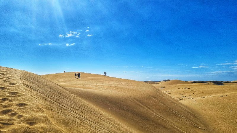
It seems that the calima will continue to affect the Canary Islands over the next few days, especially the eastern islands more, like Lanzarote, Fuerteventura and also Gran Canaria.
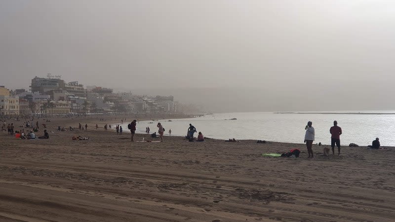
According to Aemet, on Friday a new wave of Saharan dust is expected to enter the archipelago, which will make the calima feel once again more intense compared to these last few days.
Although it was initially announced by Aemet that the calima will lift completely until Thursday, now it is expected that it will become more intense, due to the wind intensifying, which will pick up more dust from the Sahara.
Weather forecast for Friday, February 4
The main events of the day are represented by the wind, with probable very strong gusts in the central peaks of Tenerife, also in the north and west of Lanzarote and Fuerteventura very strong gusts could happen.
During the early morning and early hours of the morning, it could be cloudy with medium and high clouds, with the sky beginning to clear in the western islands from noon.
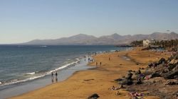
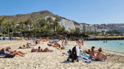
The calima will be once again more noticeable in the eastern islands: Lanzarote, Fuerteventura and also Gran Canaria, and the temperatures will continue at about the same level, similar to these last few days.
Temperatures
- Palmas de Gran Canaria: min 19°C | max 26°C
- Santa Cruz of Tenerife: min18°C | max 25°C