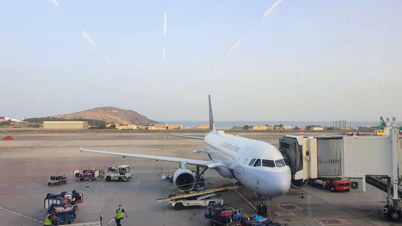
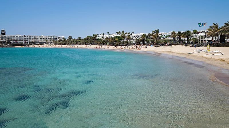
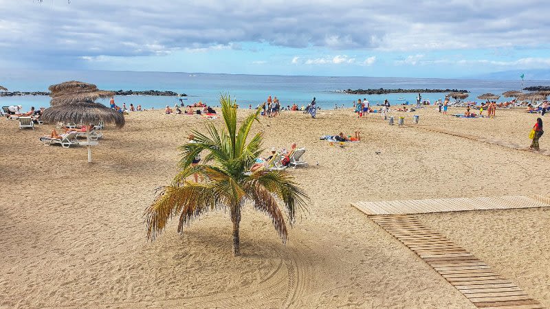
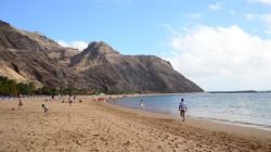
Cooler temps and rain ahead for Canary Islands this weekend
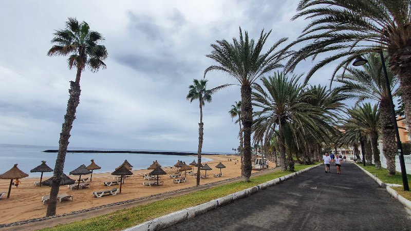
This week, the Canary Islands are experiencing a drop in temperatures and an increase in precipitation due to a strong anticyclone and an Atlantic storm. The State Meteorological Agency (Aemet) notes that the cooling trend will persist through the weekend, driven by cloud cover from the anticyclone.
Originating in the Azores, this weather phenomenon brings a flow of fresh air and increased cloudiness. Throughout the week, temperatures have progressively dropped, particularly on the islands with higher elevations.
Aemet has issued a warning for an Atlantic storm that will bring cold air masses, storms, and rain to Spain. A slight atmospheric wave is expected in the Archipelago at intermediate levels, which will heighten instability over the weekend.
Between Friday and Sunday, the Archipelago is expected to receive precipitation. On Friday, clouds will continue moving from west to east, bringing isolated rains to northern areas, especially those with higher elevations.
Instability will persist on Saturday, with abundant showers likely, particularly in the north of the Canary Islands.
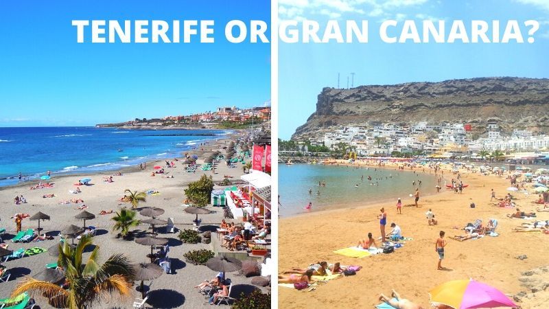
Sunday morning will see some showers, especially in the northern parts of Tenerife and Gran Canaria, with strong trade winds continuing to blow.