Rainy weather expected in the Canary Islands at beginning of Holy Week
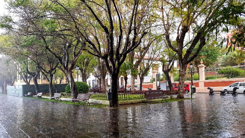
A DANA (Isolated Depression at High Levels) is heading to the Canary Islands, so showers are expected on Thursday in the archipelago.
Thursday will see the arrival of the DANA nearing the Canary Islands, expected to position itself north of the archipelago. Showers may begin in the northern regions, particularly in Lanzarote, Fuerteventura, and Gran Canaria, with the possibility of scattered showers elsewhere.
By Friday and Saturday, an isolated upper-level depression could linger just north of the islands, resulting in potentially unstable weather conditions. Expect widespread showers, particularly notable in the northern areas of the more mountainous islands.
These showers may also bring thunderstorms and locally intense rainfall, particularly in the northern regions of Tenerife and Gran Canaria.
Saturday might prove to be the most unstable day throughout the islands. While current models suggest the DANA will start moving away towards the northeast today, eventually settling over North Africa by Sunday, precipitation is still anticipated to linger in the archipelago.


