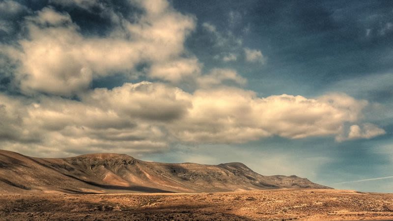
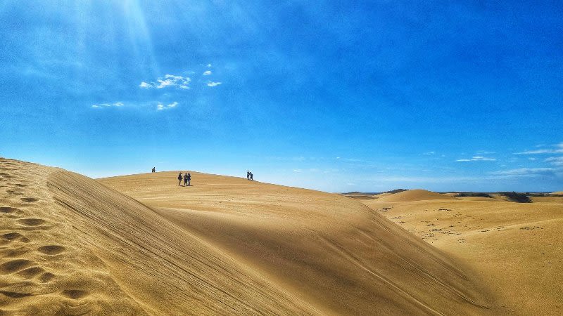
Calima returns to the Canary Islands with high winds and temperatures
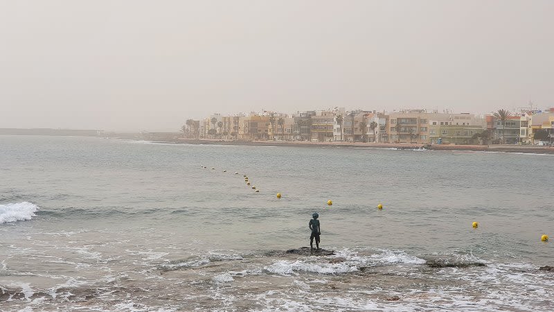
The calima has returned to the Canary Islands this Easter Sunday and in some places, the visibility was drastically reduced, but fortunately, this has not caused problems for air traffic, although it was a very busy day for Canarian airports.
According to Aemet the calima will continue to be present in the Canary Islands on Monday as well and the air should start to clear starting from Tuesday.
Monday forecast
The calima will continue and the maximum temperatures will also remain, although it should be less hot than it was on Sunday.
Aemet was issued a yellow level warning for Monday due to very strong wind gusts in La Palma, Tenerife and Fuerteventura, as well as in Lanzarote at the end of the day.
Tuesday forecast
In the north of the islands of mountainous islands the sky will be predominantly cloudy skies with a low probability of scattered and occasional light rains in the midlands during the early morning hours and at the end of the day.
The sky will be slightly cloudy in Lanzarote and in Fuerteventura in the early and late hours.
The calima should start to clear up and the temperatures will also drop, especially the maximum temperatures during the day.
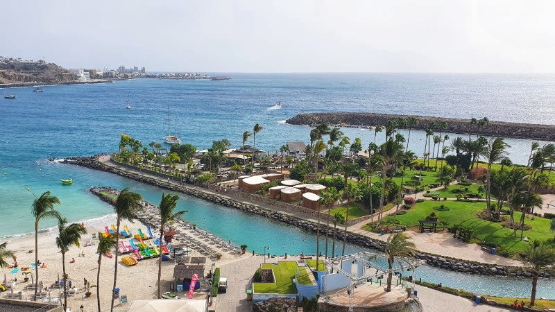
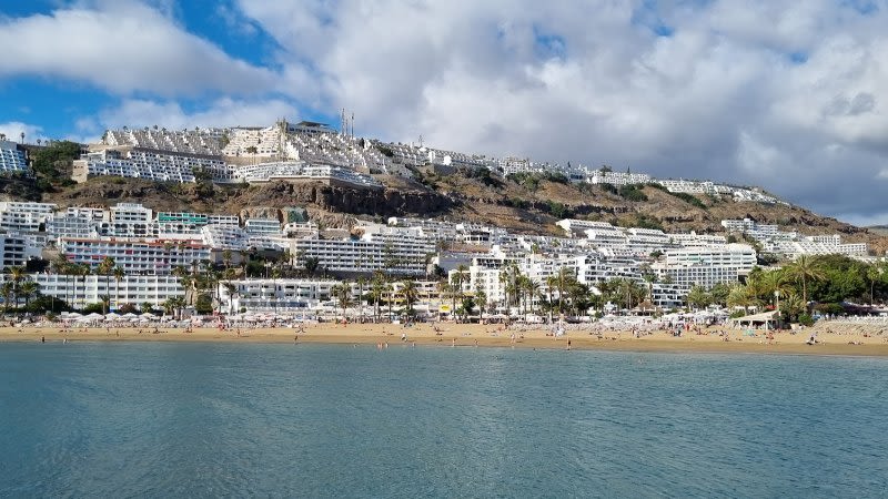
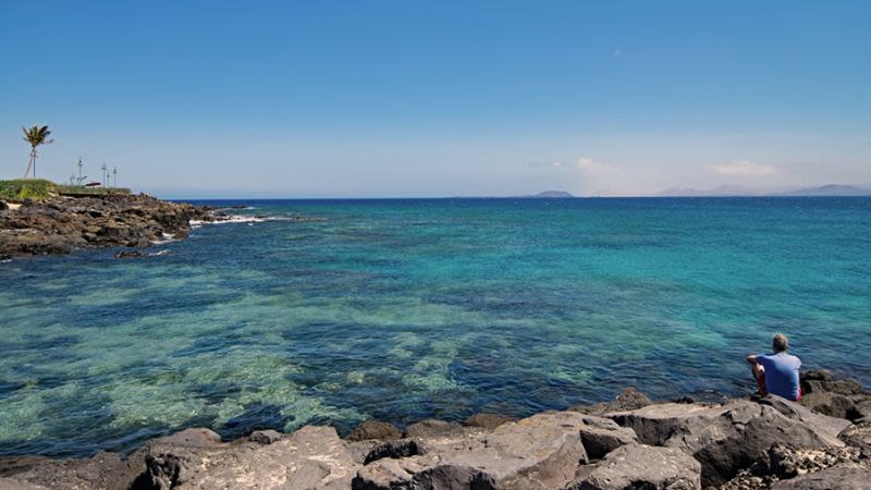
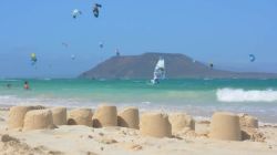
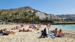
Video of the calima today, April 17, in Puerto Rico in the south of Gran Canaria: